Bridger Canyon Residence
Client
Private Residence
Location
Bridger Canyon, Gallatin County, MT
Industry
Primary Service
Secondary Services
MASW, Seismic Site Classification, Slope Stability, Seismic Stability, Earthwork Design and Inspection, Foundations, Lab Testing, Survey, Topographic Survey, Drone Survey
Project Description
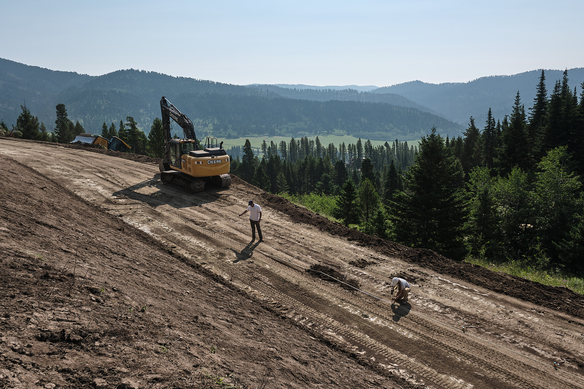
In the summer of 2024, AESI provided comprehensive geotechnical engineering and survey services for a new 4,250-square-foot residence in Bridger Canyon, Montana. The project site, a 20-acre property with a moderately steep southeast-facing slope, required detailed analysis and innovative solutions to ensure stability and functionality. Our team conducted extensive site investigations, including test pit explorations and laboratory testing, to assess subsurface conditions. We identified clayey residual soils and recommended over-excavation to stable weathered siltstone/sandstone, supported by 12 inches of structural fill. Additionally, we designed and monitored the installation of boulder walls up to 12 feet high to retain driveway cuts, ensuring both slope stability and aesthetic appeal.
We also completed a comprehensive slope stability analysis, confirming the site’s stability under typical foundation loading and moderate seismic events. We provided foundation support recommendations, allowable bearing criteria, and anticipated settlements to ensure a robust and durable foundation.
The success of this project depended on utilizing drone survey data and soil logs to create detailed AutoCAD Civil 3D soil horizon models. We also assisted with the layout of proposed horizontal drains and the design of access roads, improving site accessibility and drainage. Notably, we employed MASW (Multi-channel Analysis of Surface Waves), a geophysical analysis, to provide a site-specific seismic classification, ensuring the residence’s resilience against seismic activity.
Our integrated approach and expert solutions ensured the successful planning, design, and construction of this beautiful residence.


Challenges
Subsurface Conditions: The presence of clayey upper residual soils required careful management. These soils needed to be over-excavated to reach stable weathered siltstone/sandstone, which added complexity to the foundation preparation.
Slope Stability: Ensuring the stability of the moderately steep southeast-facing slope was crucial. This involved conducting a comprehensive slope stability analysis and designing appropriate measures, such as boulder walls, to retain driveway cuts and prevent erosion.
Seismic Considerations: The project required a site-specific seismic classification to ensure the residence’s resilience against seismic activity. This was addressed using a MASW (Multi-channel Analysis of Surface Waves) geophysical analysis, which provided detailed insights into the site’s seismic characteristics.
Integration of Data: Creating accurate soil horizon models and stability models required integrating various data sources, including drone surveys and borehole logs. This necessitated advanced software tools like AutoCAD Civil 3D and SLOPE/W to develop detailed and reliable models.
Solutions and Results
Foundation Design: Over-excavated the clayey upper residual soils to reach stable weathered siltstone/sandstone and used 12 inches of structural fill for foundation support. This provided a solid and stable foundation, ensuring the long-term durability of the residence.
Slope Stability Measures: Conducted a comprehensive slope stability analysis and designed boulder walls up to 12 feet high to retain driveway cuts. These measures effectively stabilized the moderately steep slope, preventing erosion and ensuring the safety of the structure.
Seismic Resilience: Employed MASW (Multi-channel Analysis of Surface Waves) geophysical analysis to provide a site-specific seismic classification. This ensured the residence was designed to withstand seismic activity, enhancing its resilience and safety.
Integrated Data Modeling: Utilized drone survey data and soil logs to create detailed AutoCAD Civil 3D soil horizon models and SLOPE/W stability models. These models provided a comprehensive understanding of the site conditions, informing better design and construction decisions.
