Land
Surveying & Mapping
Allied Engineering provides accurate, high-quality surveying and mapping services,
delivering the precise data needed for successful project planning and development.
In the Business of Precision
_cropped_mirrored")
Since 1996, Allied Engineering has been dedicated to delivering precise surveying and mapping data, ensuring our clients have the accurate information they need for successful projects. From boundary surveys and construction staking to LiDAR drone mapping and beyond, AESI provides expert guidance, valuable insights, and reliable results to keep your project on track.
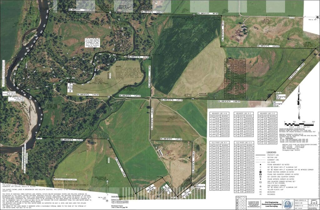
Land Surveying and Mapping Services
State-of-the-art technology and solutions
Water Resources
Construction Surveys
Topographic Surveys
Land Surveying
Why Choose Us?
Allied Engineering
By the Numbers
With a proven track record, AESI is a trusted provider of accurate surveying and mapping services in Southwest Montana and beyond. No matter the size of your project, we deliver precise data to support your success.
Choose Allied for Your
Engineering Project
Contact us today to discuss your project, and rest assured it’s in capable hands. Not quite ready? Click below to learn more about who we are.
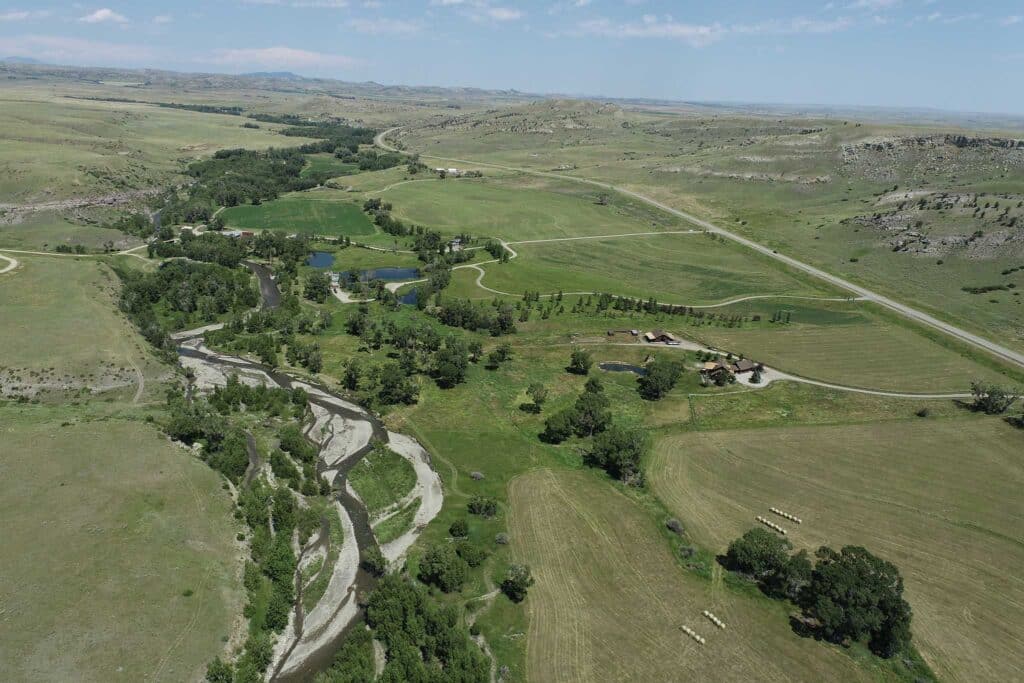
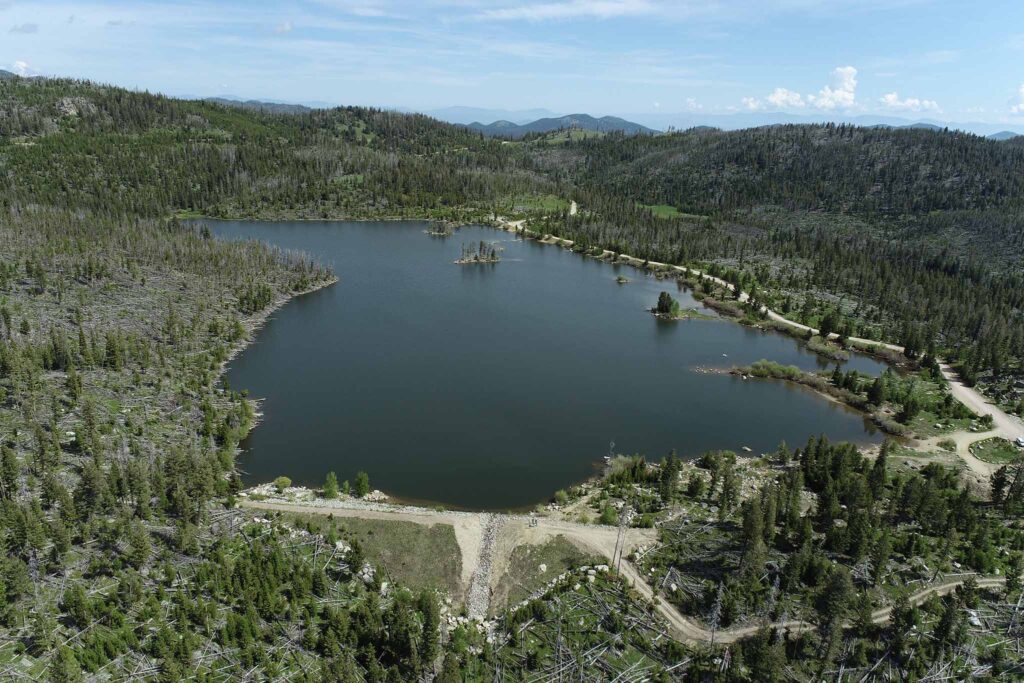
Featured Projects
View some of our recent land surveying projects and learn more about how we deliver exceptional results.