Yellowstone National Park Wetland and Rare Plant Survey
Client
National Park Service
Location
Yellowstone National Park
Industry
Primary Service
Secondary Services
Wetland Delineation, Rare Plant Surveying, Mapping
Project Description
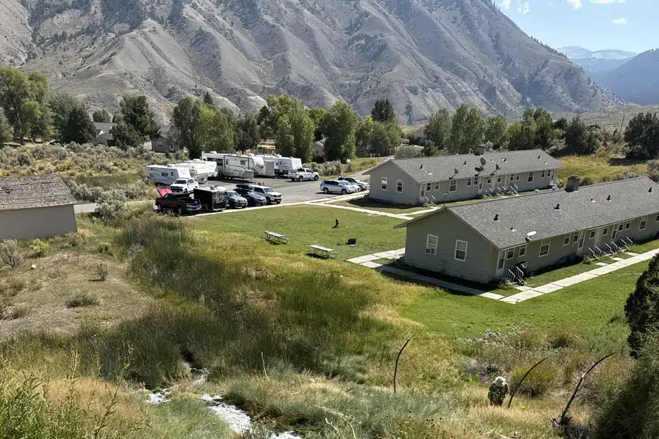
AESI, in collaboration with Western EcoSystems Technology, conducted wetland delineations and rare plant surveys across six sites in Yellowstone National Park for the National Park Service. Spanning approximately 230 acres, these surveys aimed to identify sensitive environmental areas to guide heavy equipment placement for future fuel treatment projects. AESI utilized sub-meter GPS technology to record wetland boundaries, captured site photographs, and integrated data onto geo-referenced aerial imagery and U.S. Geological Survey maps. Additionally, field teams mapped ordinary high water marks for stream channels and water bodies within the project areas. The final reports provided detailed classifications of palustrine emergent and palustrine forested wetlands, including key vegetation and hydrology characteristics essential for boundary determinations.


Challenges
The project faced a tight timeline, as the contract was awarded in mid-August, leaving limited time to plan and complete the field surveys within the short growing season. This constraint required rapid mobilization and efficient execution to ensure accurate data collection before seasonal changes impacted plant identification and wetland assessments.
Solutions and Results
AESI quickly developed a comprehensive field survey plan, streamlining methods, sampling protocols, and safety measures to maximize efficiency. Field teams worked within the constrained timeframe to collect high-quality data, ensuring thorough documentation of wetland boundaries and rare plant locations. The final reports provided the National Park Service with precise maps and detailed environmental assessments, supporting informed decision-making for future land management and conservation efforts.
